‘Unusual and extreme’: Weather experts on what Europe’s first snow could mean for this winter
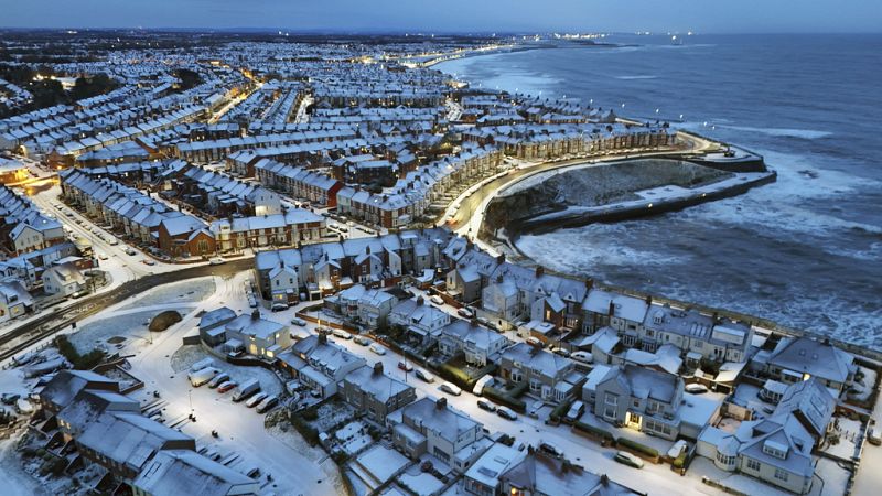
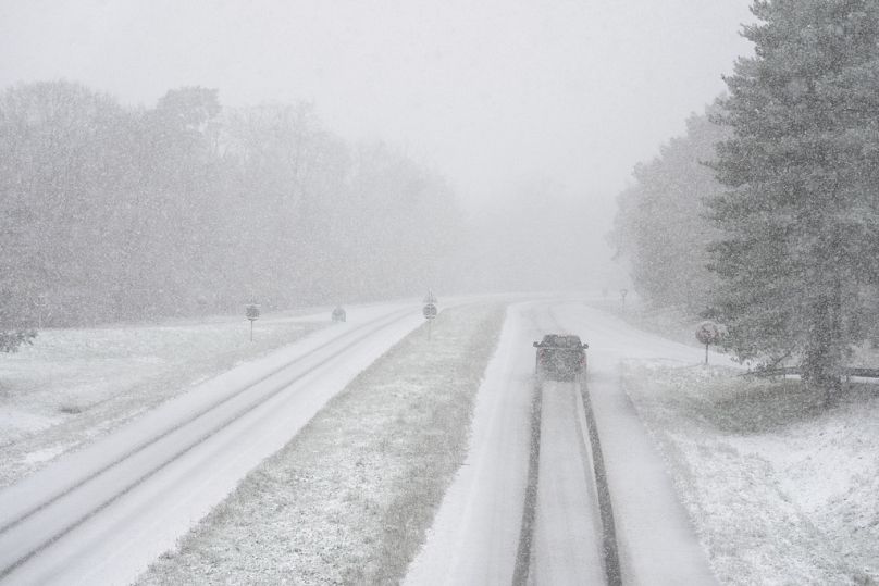
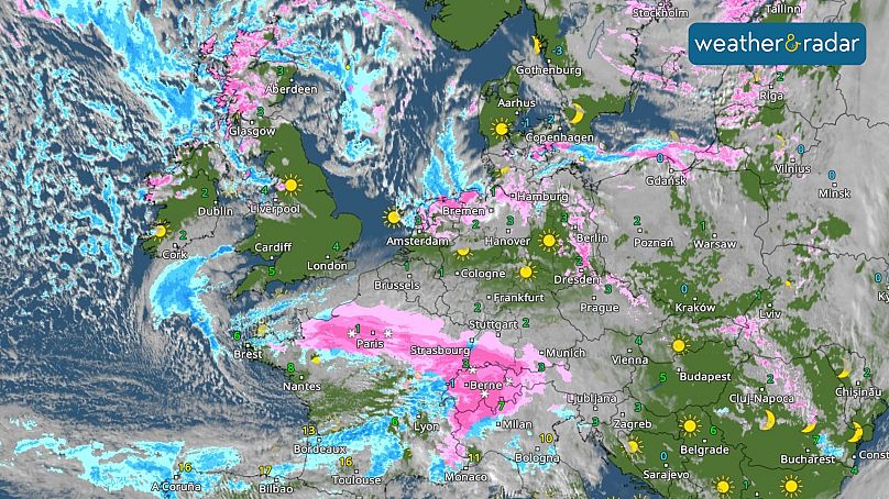
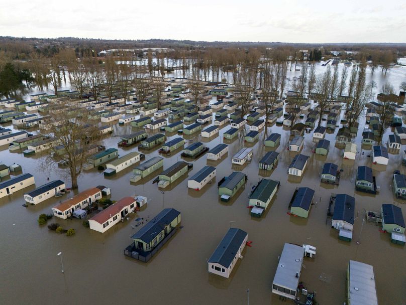
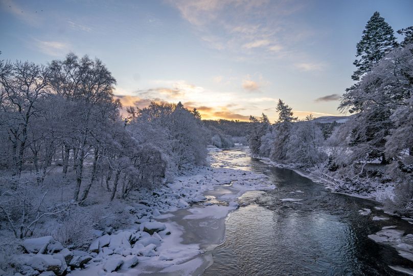
Last week parts of Europe received the first heavy snow of the season, with severe weather warnings in place for the UK, Ireland, and France. This was then promptly followed by the heavy rain and high winds caused by Storm Bert.
But is snowy, stormy weather usual for November? And is this the sign of what to expect this winter across Europe? Euronews Green spoke to weather experts for their professional take.
Europe’s recent snow flurry was normal for November, but the “intense snowfall was rare”
“During my childhood in Belgium, the first snowfall and lying snow was usually in the middle of November, so we’re pretty much on average [for Europe] when we look at snowfall in general,” says Lars Lowinski, a Bonn-based meteorologist at WetterOnline and Weather and Radar.
Lowinski went on to explain what was different about this patch of snowy weather.
“Even in this era of climate change, where temperatures are rising overall, these first cold snaps of frost and ice and even several centimetres of snow are nothing unusual at this time of year,” Lowinski explains, “But what was significant (about last week) was the amount of snow.”
While heavy snow is common in January to early March when sea temperatures are lower, this was a rare event so early in the season. It was caused when low-pressure systems moved up from the Atlantic Ocean to combine with the cold air.
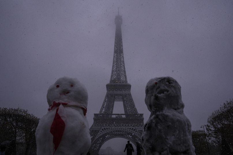
“Parts of France and southwest England and even areas of Cornwall and Devon - which are usually fairly warm at this time of year - saw some significant snowfall, and Paris saw 4cm of snow on Thursday, with some areas having up to 15cm for a time, which was very unusual.”
As it turns out, Paris hasn’t seen this much snowfall in November since 1968.
“This just goes to show how unusual and extreme this event was for many parts of central and northern France,” adds Lowinski.
Some European cities are not well-prepared for heavy snow
“Paris doesn’t get much in the way of snow even in the middle of winter, so people can’t cope that well with snow compared to, say, the Alps or Bavaria or Scotland. Even just a tiny amount of snow on the streets leads to chaos and gridlock on the roads, and that’s exactly what happened, even with warnings from the forecasters in France saying that it was going to be a major event.”
The UK’s Met Office told us that, “In terms of context, the last amber warning we issued for snow was in November 2010. However, this was a much more significant and widespread snow event. We did have similar numbers of stations recording 2 cm of snow or more at the end of November 2021 too. So this sort of event in November is not unprecedented, just not common.”
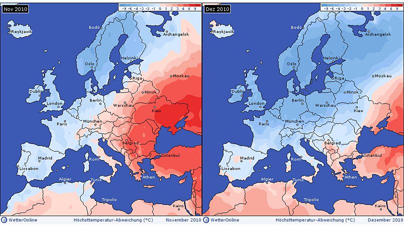
The last significant winter weather event in November 2010 was caused by what Lowinski referred to as a “Siberian Express” - when a high-pressure system that usually brings calmer weather meant that there were only northeasterly or easterly winds for weeks on end. Then, the cold spell lasted from the last week of November until the end of the year, with frequent snow and a couple of nights in western Europe when temperatures dropped to between -10 and -20C in places.
“What was particularly exceptional about this event is that climate change was already an issue, and temperatures were already globally rising. It wasn’t as warm as it is now because it’s a continuous process, so it’s unlikely we will experience this again,” adds Lowinski.
Predicting the winter weather is difficult - but it’s important for preparation
The larger the weather system, the easier it is to predict. Storm Bert was seen on weather modelling several days in advance and named by the Met Éireann (Ireland’s Met Office) 48 hours in advance.
This allows time to issue warnings and prepare contingency plans, such as putting flooding prevention measures in place.
Storm Bert, which swept through Europe this weekend, was a slow-moving and long-lasting storm. This is a concern because this can exacerbate impacts from flooding rains, high winds or snow.
Unfortunately, regional and smaller weather events, such as a band of snow showers or a flash flood, are harder for forecasters to predict and usually occur with just 12 to 24 hours' notice.
What do weather experts predict the winter in Europe will be like?
For meteorologists, winter only officially begins on 1 December.
Countries like Germany, Austria or Poland, in areas further away from the North Sea and the Atlantic Ocean, tend to have a more continental climate. This means temperatures are usually lower in winter and higher in the summer compared with coastal areas.
In general, Lowinski predicts fairly average temperatures and precipitation conditions this winter.
“In northern parts of Europe - everything north of a line Paris, Berlin and Warsaw - are likely to see wetter than average conditions, and perhaps some storm systems bringing gales and heavy rain as well. While in southern Europe, such as southern Spain, the Mediterranean, Alps, and Balkans, we are more likely to see drier conditions over the next three months,” explains Lowinski.
He adds that this does not mean that we won’t see some days or weeks that are wet or snowy due to individual weather events, but this will often be short-lived.
Climate change is likely to make Europe’s winter warmer - and more extreme
Our future winters are getting warmer due to climate change and we have already seen that in real numbers this month.
For example, the DWD weather station at Baden-Baden in southwest Germany just reported 22.2C, a new record for the last 10 days of November for the whole of Germany.
And, already, six of the ten warmest UK winters on record have occurred since 2007.
Lowinski highlights that it’s interesting to see such a huge swing in temperatures in Europe, which we have seen in November, with temperatures rising from freezing to 18C.
While quick, vast temperature changes are common in Asia and North America, they should be less likely to occur in Europe’s maritime climate.
Yesterday


