
Spain faces intense August heatwave with soaring temperatures until 13 August
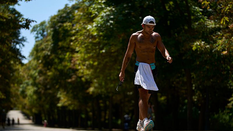
After a July with lower-than-normal temperatures in much of the country, Spain has started August with a sweltering heat wave that, according to the State Meteorological Agency (Aemet), will last until at least Wednesday 13 August.
This Thursday, alerts are active in practically the whole country, and temperatures could reach up to 43°C in some regions. The second major heatwave of the summer began last Sunday, 3 August, and all indications are that the worst is yet to come.
According to the state agency, the current weather pattern, relatively stationary and dominated by a warm, dry air mass from Africa, is driving a steady increase in temperatures.
This Thursday and Friday, highs of 36ºC to 38ºC are expected in most of the interior of the peninsula, with peaks of up to 40ºC in the valleys of the Tagus, Guadiana and Guadalquivir rivers.
The intense sunshine typical of summer could also generate isolated thunderstorms during the afternoon, especially around the Betic Mountains on Thursday, which could spread to other inland areas on Friday.
The associated gusts of wind could be locally very strong, according to Aemet.
How long will the heat last?
Looking ahead to the weekend, temperatures will continue to rise. Highs of 40ºC to 42ºC are forecast in the southwest and values close to 40ºC in the Ebro valley and in the northeast of the peninsula. The Cantabrian area, however, will experience a slight thermal respite on Saturday, although temperatures will rise again on Sunday.
The upward trend will continue on Monday and Tuesday, especially in the southwest and inland northeast of the peninsula, where temperatures could reach 41ºC to 43ºC. Although a change is expected from 13 August, with more marked temperature drops in the west, Aemet points out that the values will continue to be abnormally high.
The nights will not offer relief either. Minimum temperatures won't fall below 23ºC to 25ºC in many areas of the centre, south and Mediterranean coast. From Friday onwards, these conditions will also reach the northeastern lowlands, leading to tropical nights with minimal cooling during the early morning hours.
In the Canary Islands, the situation is also critical. Since last Tuesday, temperatures have followed a clear upward trend. Maximum temperatures of between 38ºC and 40ºC are expected between Saturday and Monday, even in low areas of the archipelago. Minimum temperatures will be particularly high, not dropping below 26ºC to 28ºC on the southern slopes, so the heatwave criteria could also be met on the islands.
Aemet has warned people to be extremely cautious, stay hydrated, avoid exposure to the sun during the middle of the day and follow the recommendations of the local authorities in the face of this episode of extreme heat, which, for now, shows no signs of abating.